Scenic drive through hills and along rivers to Soti Khola. Overnight stay in Seti Khola
Trek through forests, terraced fields, and small villages along the Budhi Gandaki River.
Cross suspension bridges, pass through Khorlabesi and Tatopani, climb up to Jagat.
Enter Manaslu Conservation Area, pass through Philim, Ekle Bhatti, and descend to Deng.
Trek through forests, cross rivers, pass through Prok, and climb to Namrung.
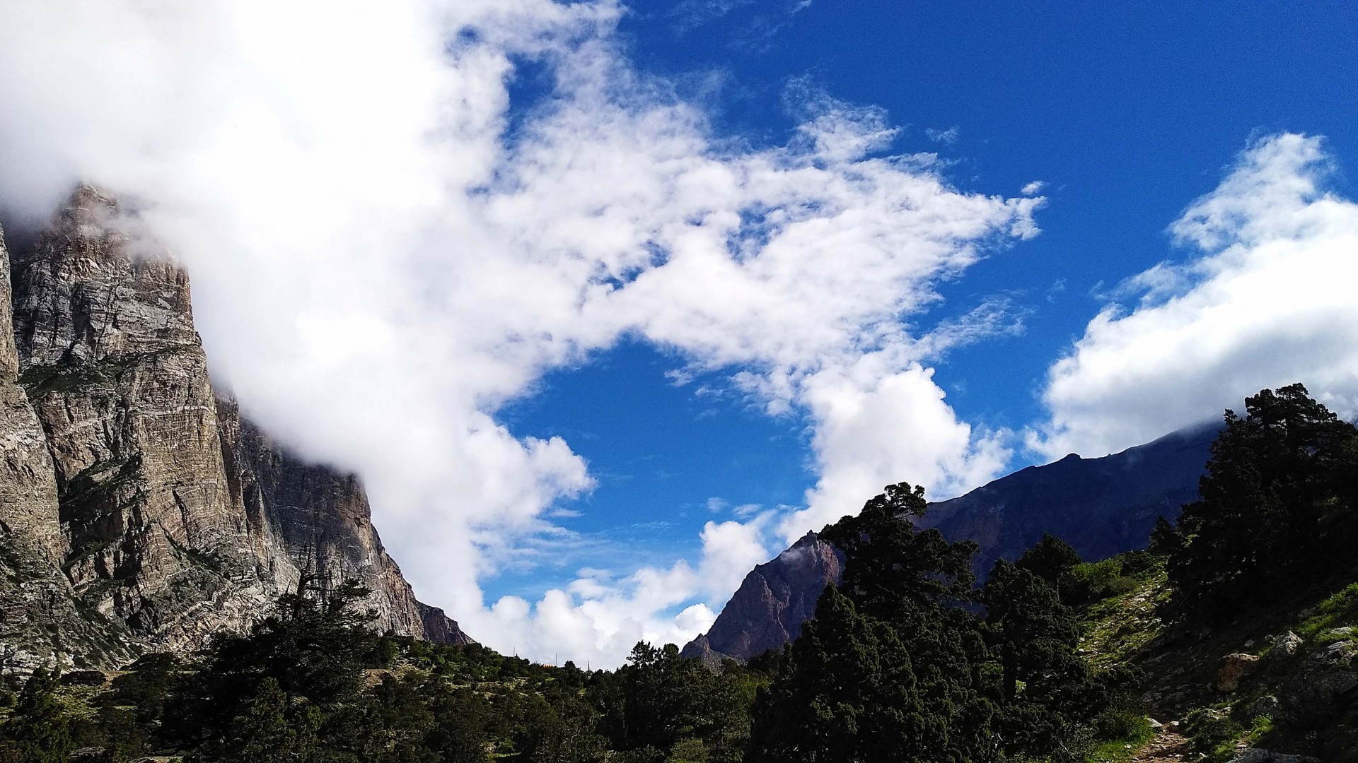
Trek through forests and traditional villages of Lho and Shyala, with views of Manaslu.
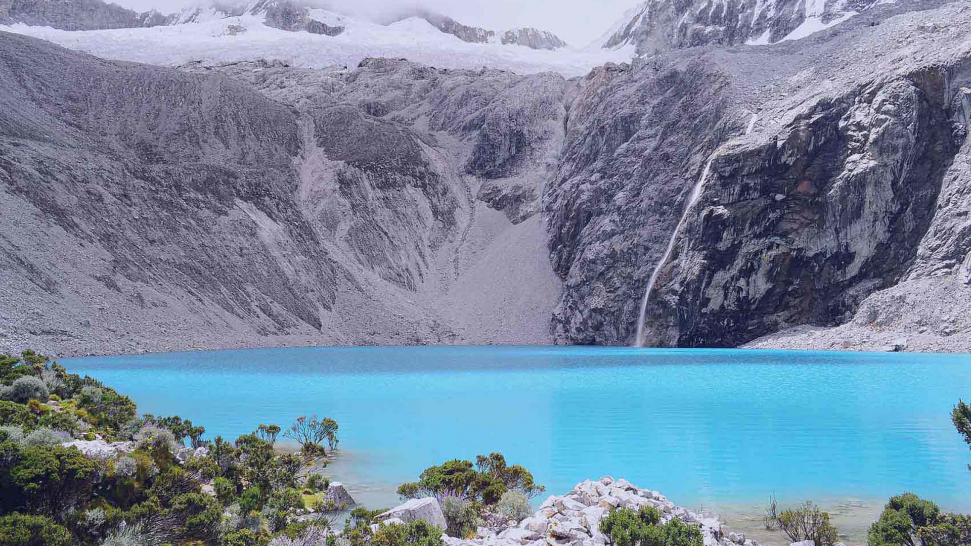
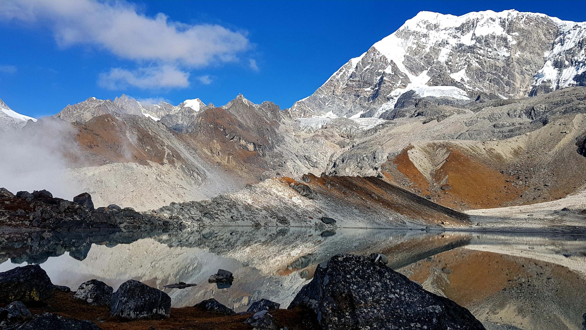
Explore Birendra Lake, hike to Pungyen Gompa, or relax in the village.
Gradual ascent through yak pastures, passing the village of Samdo.
Trek through barren landscapes, cross wooden bridges over glacial streams, reach Dharamsala.
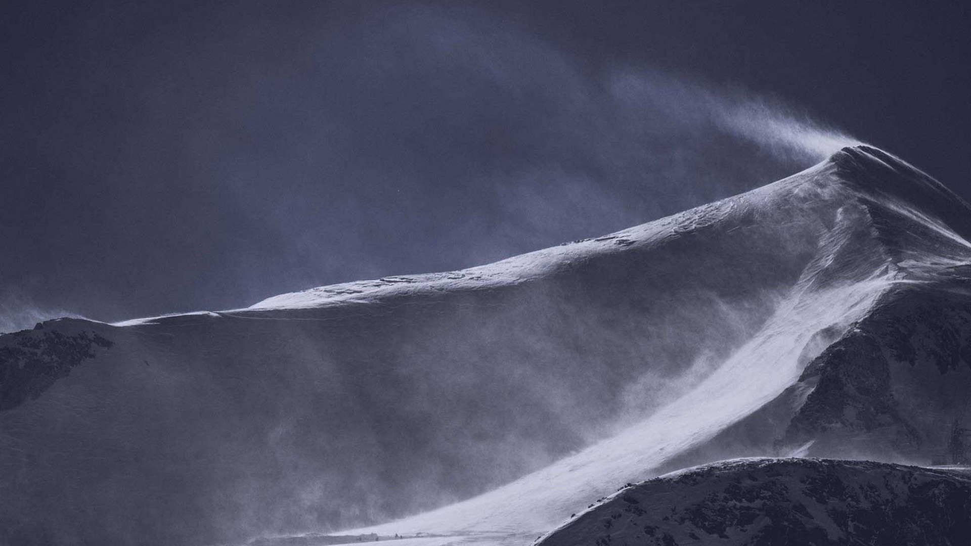
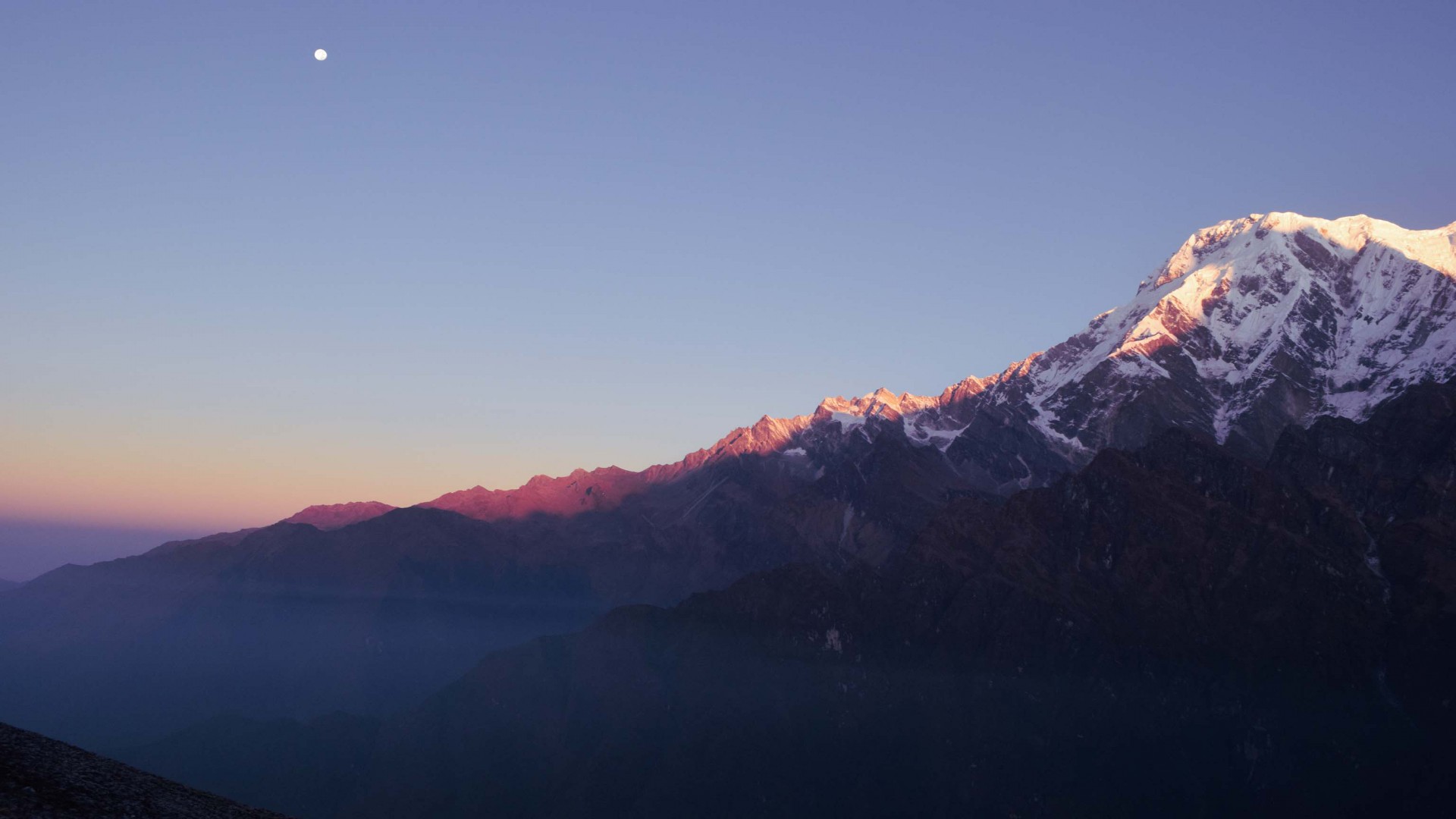
Early morning start, challenging ascent to Larkya La Pass (5160 meters), followed by a long descent to Bimthang.
Trek through forests, descend past Yak Kharka, cross the Dudh Khola, and reach Tilije.
Descend through rhododendron forests and terraced fields, pass through Dharapani and Karte, reach Tal.
Follow the Marsyangdi River, descend through Chamje and Jagat to Syange.
Drive along scenic highways back to Kathmandu.
Introduction:
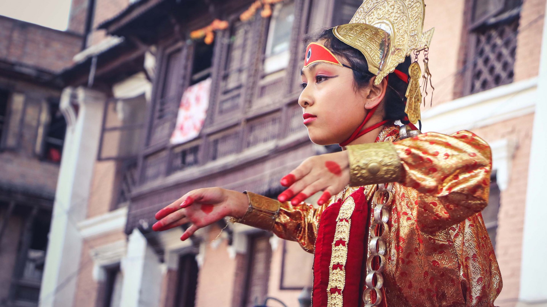
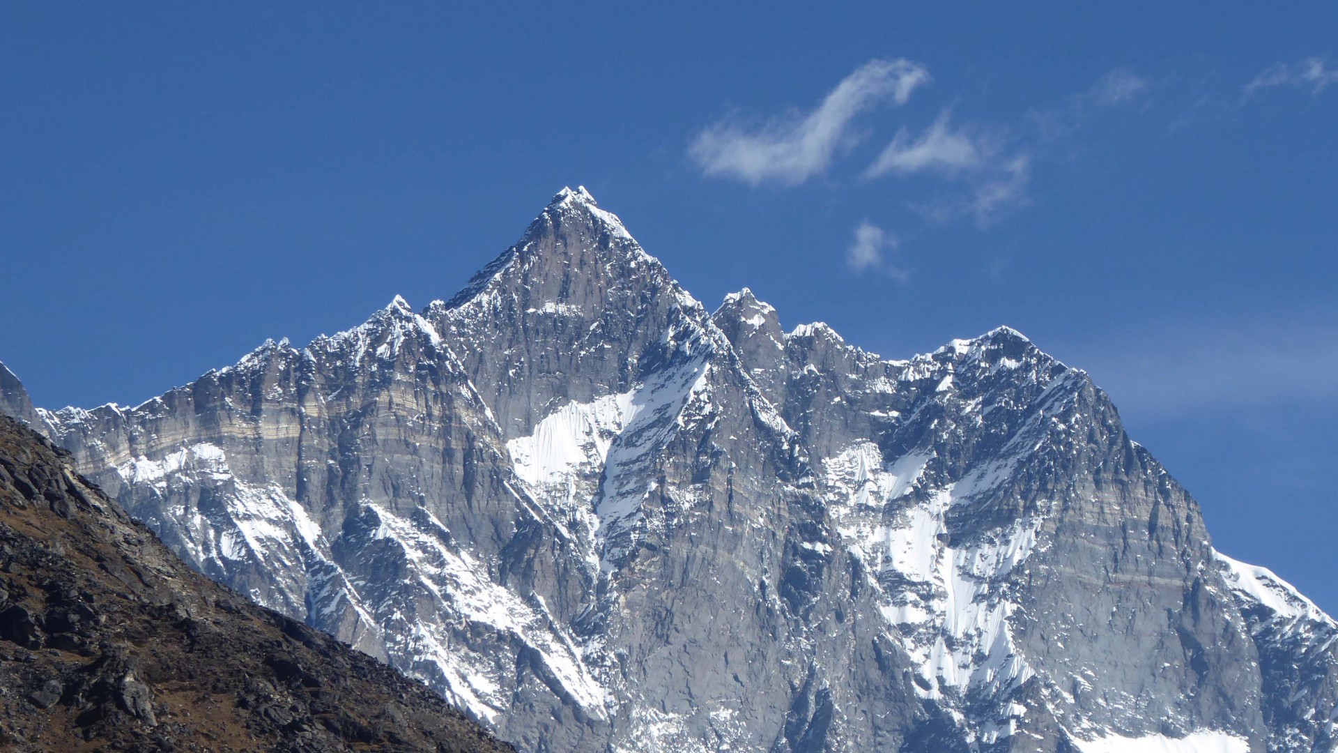
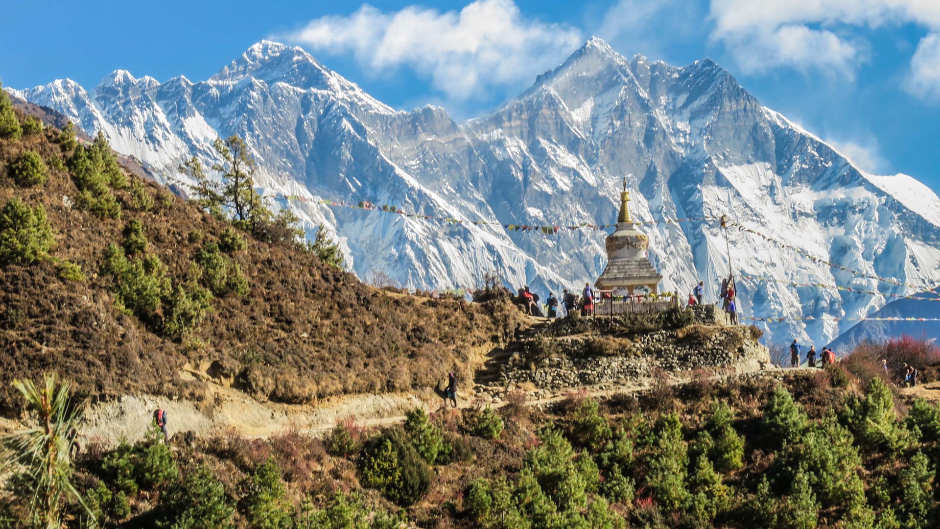
The Manaslu Circuit Trek is a captivating journey around the eighth highest mountain in the world, Mount Manaslu (8,163 meters/26,781 feet). This trek offers a perfect blend of natural beauty and rich cultural heritage, as it passes through diverse landscapes ranging from subtropical forests to alpine meadows, and through traditional villages inhabited by Tibetan and Gurung people. The trek is less crowded compared to other popular treks in Nepal, providing a more serene and authentic trekking experience.
Overview:
- Duration: 17 days (including arrival and departure)
- Max Elevation: 5,160 meters (16,929 feet) at Larkya La Pass
- Difficulty: Moderate to challenging
- Best Season: March to May, September to November
- Start/End Point: Kathmandu/Soti Khola/Besisahar
Detailed Itinerary:
Day 1: Drive from Kathmandu to Soti Khola
- Starting Elevation: 1,400 meters (4,593 feet)
- Ending Elevation: 700 meters (2,297 feet)
- Duration: 7-8 hours drive
- Route: Scenic drive through hills and along rivers to Soti Khola.
- Accommodation: Teahouse in Soti Khola.
- Overnight: Soti Khola.
Day 2: Soti Khola to Machha Khola
- Starting Elevation: 700 meters (2,297 feet)
- Ending Elevation: 869 meters (2,851 feet)
- Duration: 6-7 hours
- Route: Trek through forests, terraced fields, and small villages along the Budhi Gandaki River.
- Accommodation: Teahouse in Machha Khola.
- Overnight: Machha Khola.
Day 3: Machha Khola to Jagat
- Starting Elevation: 869 meters (2,851 feet)
- Ending Elevation: 1,340 meters (4,396 feet)
- Duration: 6-7 hours
- Route: Cross suspension bridges, pass through Khorlabesi and Tatopani, climb up to Jagat.
- Accommodation: Teahouse in Jagat.
- Overnight: Jagat.
Day 4: Jagat to Deng
- Starting Elevation: 1,340 meters (4,396 feet)
- Ending Elevation: 1,860 meters (6,102 feet)
- Duration: 6-7 hours
- Route: Enter Manaslu Conservation Area, pass through Philim, Ekle Bhatti, and descend to Deng.
- Accommodation: Teahouse in Deng.
- Overnight: Deng.
Day 5: Deng to Namrung
- Starting Elevation: 1,860 meters (6,102 feet)
- Ending Elevation: 2,630 meters (8,629 feet)
- Duration: 6-7 hours
- Route: Trek through forests, cross rivers, pass through Prok, and climb to Namrung.
- Accommodation: Teahouse in Namrung.
- Overnight: Namrung.
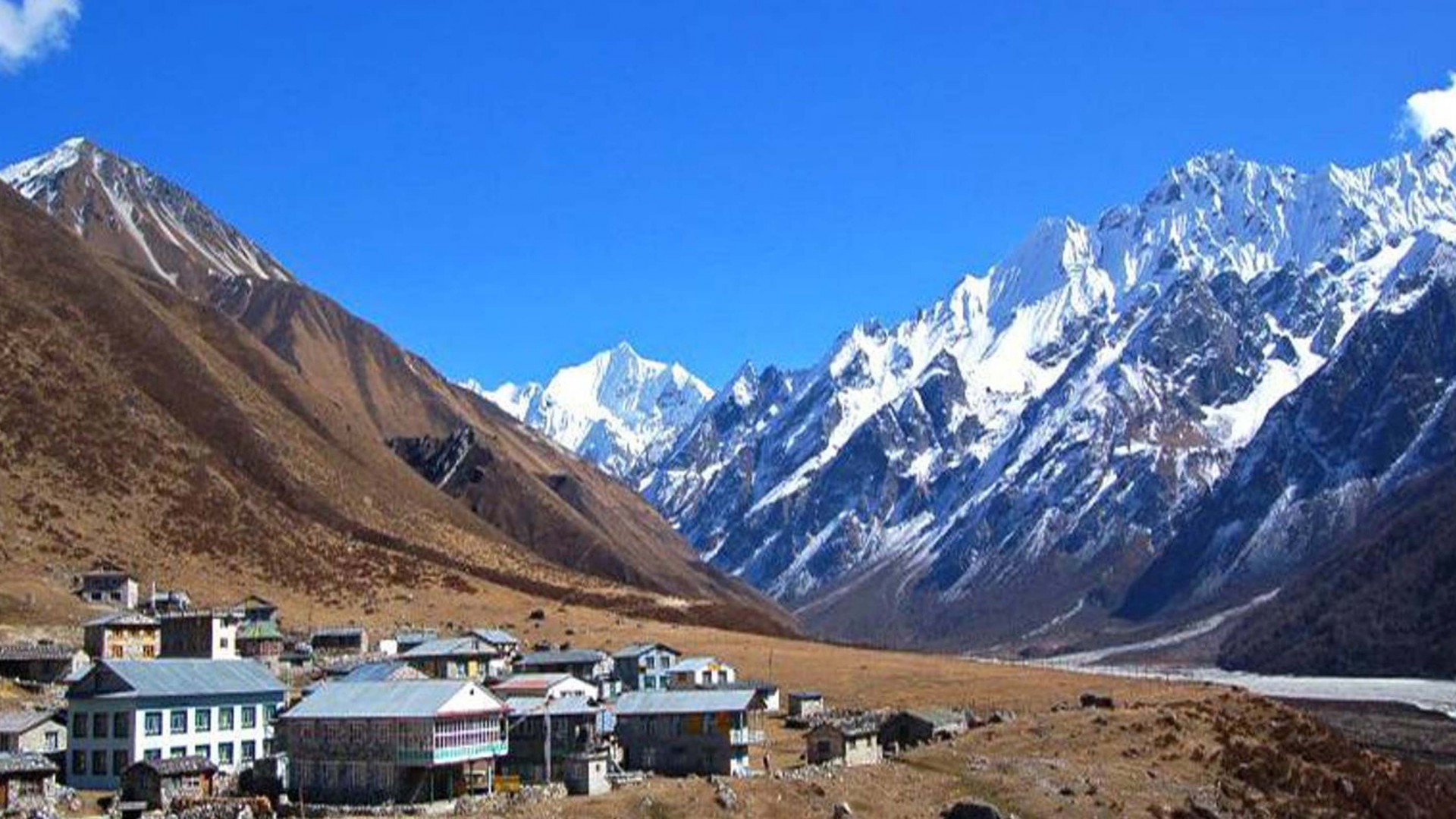
Day 6: Namrung to Samagaon
- Starting Elevation: 2,630 meters (8,629 feet)
- Ending Elevation: 3,530 meters (11,581 feet)
- Duration: 6-7 hours
- Route: Trek through forests and traditional villages of Lho and Shyala, with views of Manaslu.
- Accommodation: Teahouse in Samagaon.
- Overnight: Samagaon.
Day 7: Acclimatization Day in Samagaon
- Elevation: 3,530 meters (11,581 feet)
- Activities: Explore Birendra Lake, hike to Pungyen Gompa, or relax in the village.
- Accommodation: Teahouse in Samagaon.
- Overnight: Samagaon.
Day 8: Samagaon to Samdo
- Starting Elevation: 3,530 meters (11,581 feet)
- Ending Elevation: 3,875 meters (12,713 feet)
- Duration: 4-5 hours
- Route: Gradual ascent through yak pastures, passing the village of Samdo.
- Accommodation: Teahouse in Samdo.
- Overnight: Samdo.
Day 9: Samdo to Dharamsala (Larkya Phedi)
- Starting Elevation: 3,875 meters (12,713 feet)
- Ending Elevation: 4,460 meters (14,632 feet)
- Duration: 4-5 hours
- Route: Trek through barren landscapes, cross wooden bridges over glacial streams, reach Dharamsala.
- Accommodation: Teahouse in Dharamsala.
- Overnight: Dharamsala.
Day 10: Dharamsala to Bimthang via Larkya La Pass
- Starting Elevation: 4,460 meters (14,632 feet)
- Larkya La Pass Elevation: 5,160 meters (16,929 feet)
- Ending Elevation: 3,720 meters (12,205 feet)
- Duration: 8-9 hours
- Route: Early morning start, challenging ascent to Larkya La Pass, followed by a long descent to Bimthang.
- Accommodation: Teahouse in Bimthang.
- Overnight: Bimthang.
Day 11: Bimthang to Tilije
- Starting Elevation: 3,720 meters (12,205 feet)
- Ending Elevation: 2,300 meters (7,546 feet)
- Duration: 5-6 hours
- Route: Trek through forests, descend past Yak Kharka, cross the Dudh Khola, and reach Tilije.
- Accommodation: Teahouse in Tilije.
- Overnight: Tilije.
Day 12: Tilije to Tal
- Starting Elevation: 2,300 meters (7,546 feet)
- Ending Elevation: 1,700 meters (5,577 feet)
- Duration: 5-6 hours
- Route: Descend through rhododendron forests and terraced fields, pass through Dharapani and Karte, reach Tal.
- Accommodation: Teahouse in Tal.
- Overnight: Tal.
Day 13: Tal to Syange
- Starting Elevation: 1,700 meters (5,577 feet)
- Ending Elevation: 1,100 meters (3,609 feet)
- Duration: 6-7 hours
- Route: Follow the Marsyangdi River, descend through Chamje and Jagat to Syange.
- Accommodation: Teahouse in Syange.
- Overnight: Syange.
Day 14: Drive from Syange to Kathmandu via Besisahar
- Starting Elevation: 1,100 meters (3,609 feet) (Syange)
- Ending Elevation: 1,400 meters (4,593 feet) (Kathmandu)
- Duration: 8-9 hours drive
- Route: Drive along scenic highways back to Kathmandu.
- Accommodation: Hotel in Kathmandu.
- Overnight: Kathmandu.
Additional Details:
- Permits: Manaslu Conservation Area Permit (MCAP), Annapurna Conservation Area Permit (ACAP), and Special Restricted Area Permit for Manaslu.
- Accommodation: Teahouses and lodges along the trail.
- Meals: Traditional Nepali meals, with options for international cuisine available at larger teahouses.
- Guides/Porters: Hiring a guide and/or porter is mandatory for the restricted area and highly recommended for support and safety.
Packing List:
- Clothing: Layers for warmth, waterproof jacket, trekking pants, gloves, hat, and sturdy trekking boots.
- Gear: Sleeping bag, trekking poles, headlamp, first aid kit, water purification tablets, and personal toiletries.
- Documents: Passport, travel insurance, permits, and extra passport-sized photos.
This itinerary offers a comprehensive and immersive experience of the Manaslu region, combining challenging trekking with cultural exploration and stunning Himalayan scenery.
Don't miss these places!