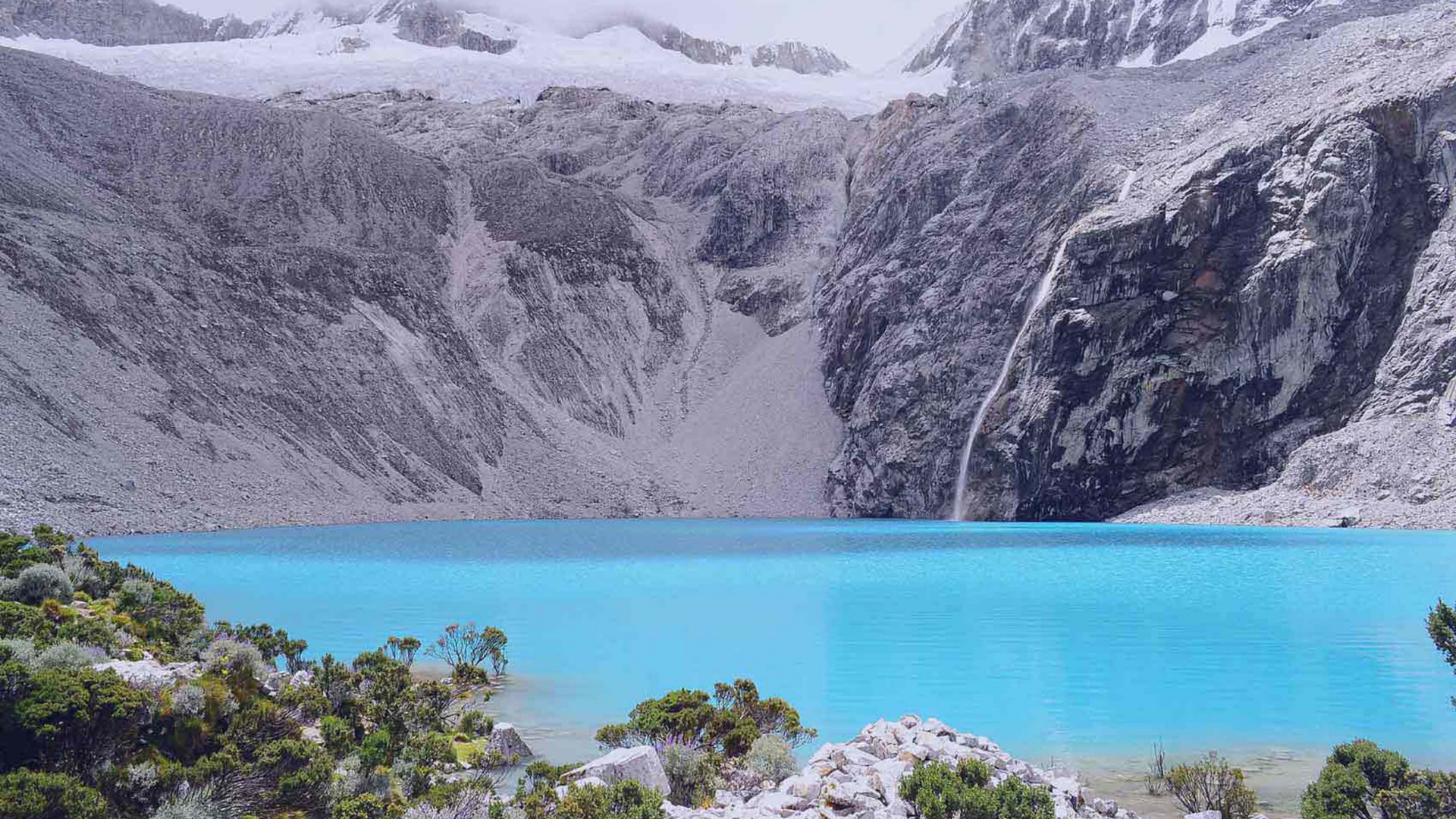
Tilicho Lake
Highest Lake
Tilicho Lake Trek is an exhilarating journey in the Annapurna region of Nepal
Scenic drive through hills and along rivers to Besisahar, then drive to Bhulbhule.
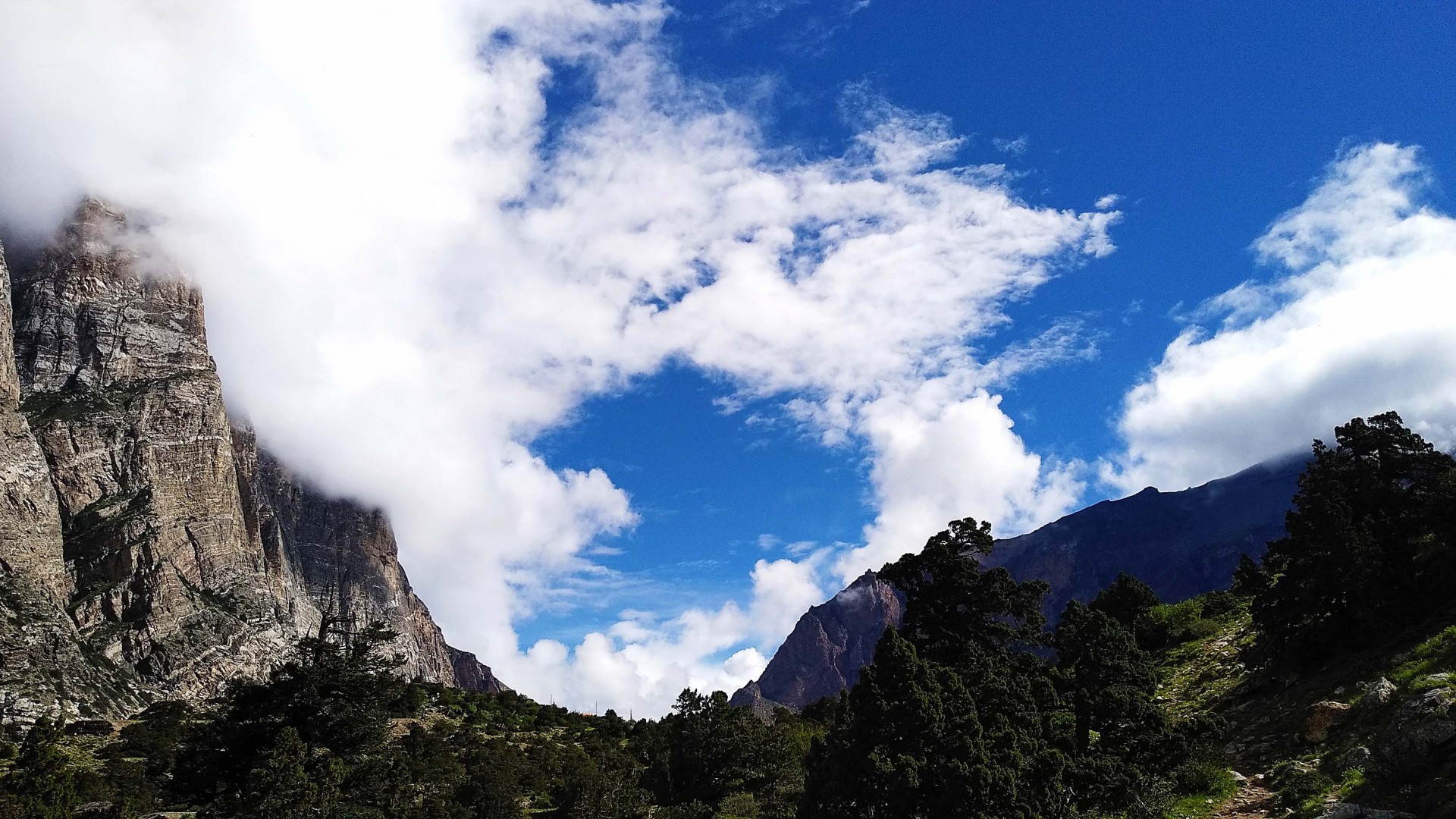
Trek through terraced fields, forests, and along the Marsyangdi River to Jagat.
Trek through villages like Chamje and Tal, with views of waterfalls and landscapes.
Trek through forests of pine and oak, crossing bridges and passing through villages.
Trek along the Marsyangdi River, with views of Annapurna II and Pisang Peak.
Trek through the Upper Pisang route, passing through Ghyaru and Ngawal, with panoramic mountain views.
Explore Manang, hike to Gangapurna Lake or the nearby ridge for acclimatization.
Trek through forests and cross suspension bridges to reach Khangsar.
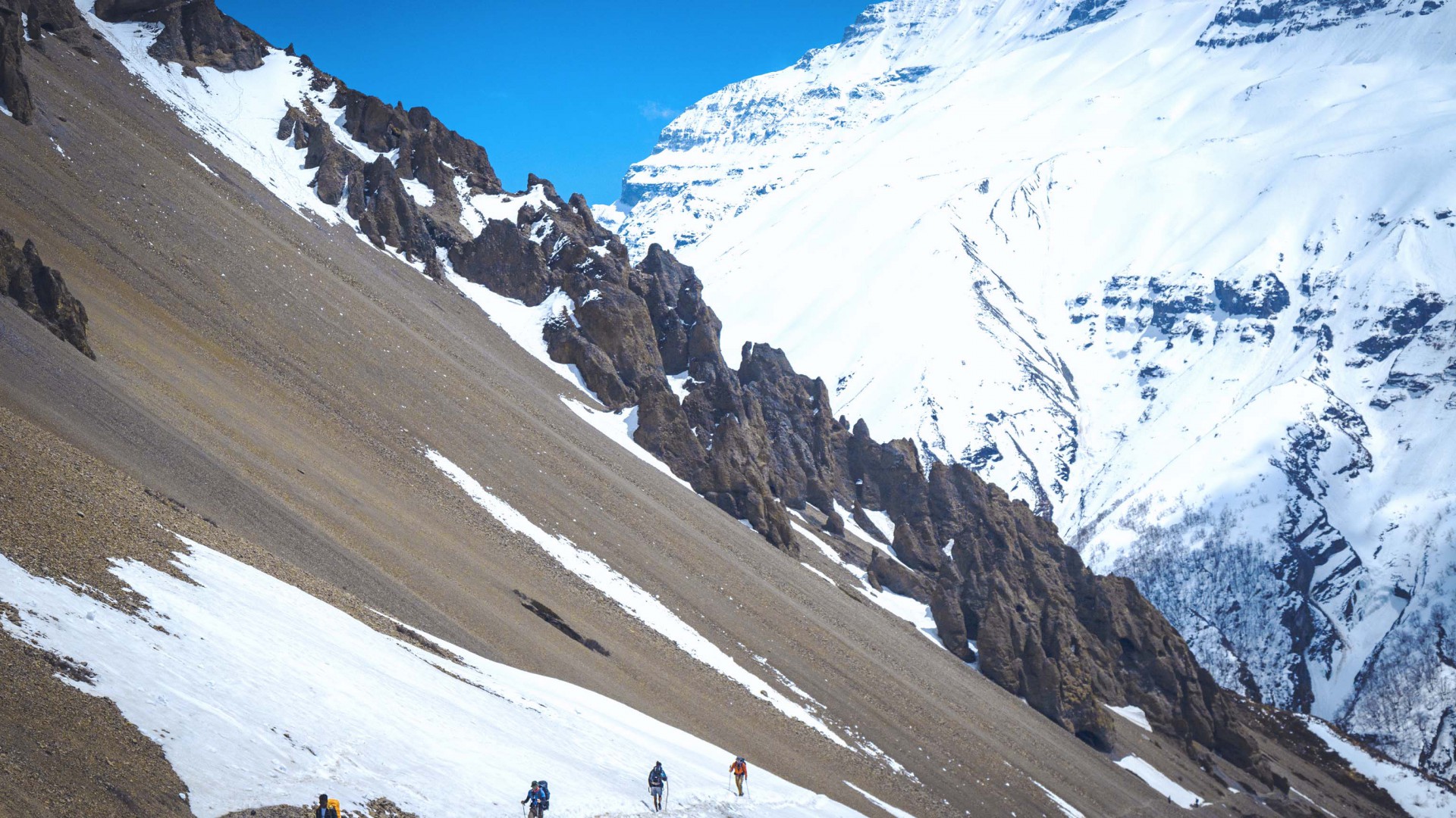
Trek through rocky terrain and past landslides to Tilicho Base Camp.
Ascend to Tilicho Lake, explore the lake area, and return to Tilicho Base Camp.
Trek back to Khangsar, then continue to Yak Kharka.
Trek through alpine meadows and along the Jarsang Khola, reaching Thorong Phedi.
Early morning ascent to Thorong La Pass (5416), then descend to Muktinath.
Drive through the Kali Gandaki Valley to Jomsom.
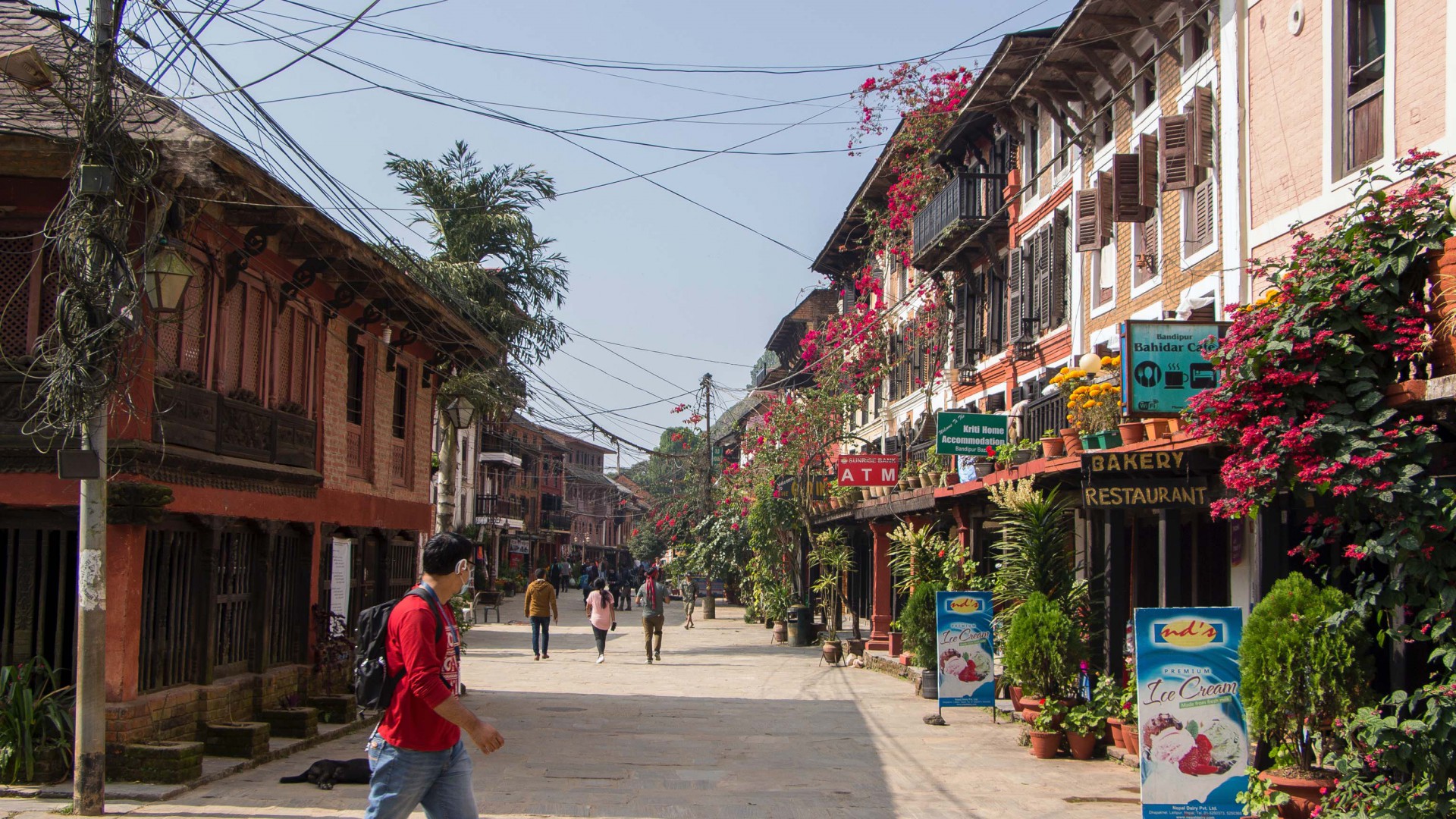
Explore Pokhara, rest and relax.
Drive or fly back to Kathmandu.
Introduction:
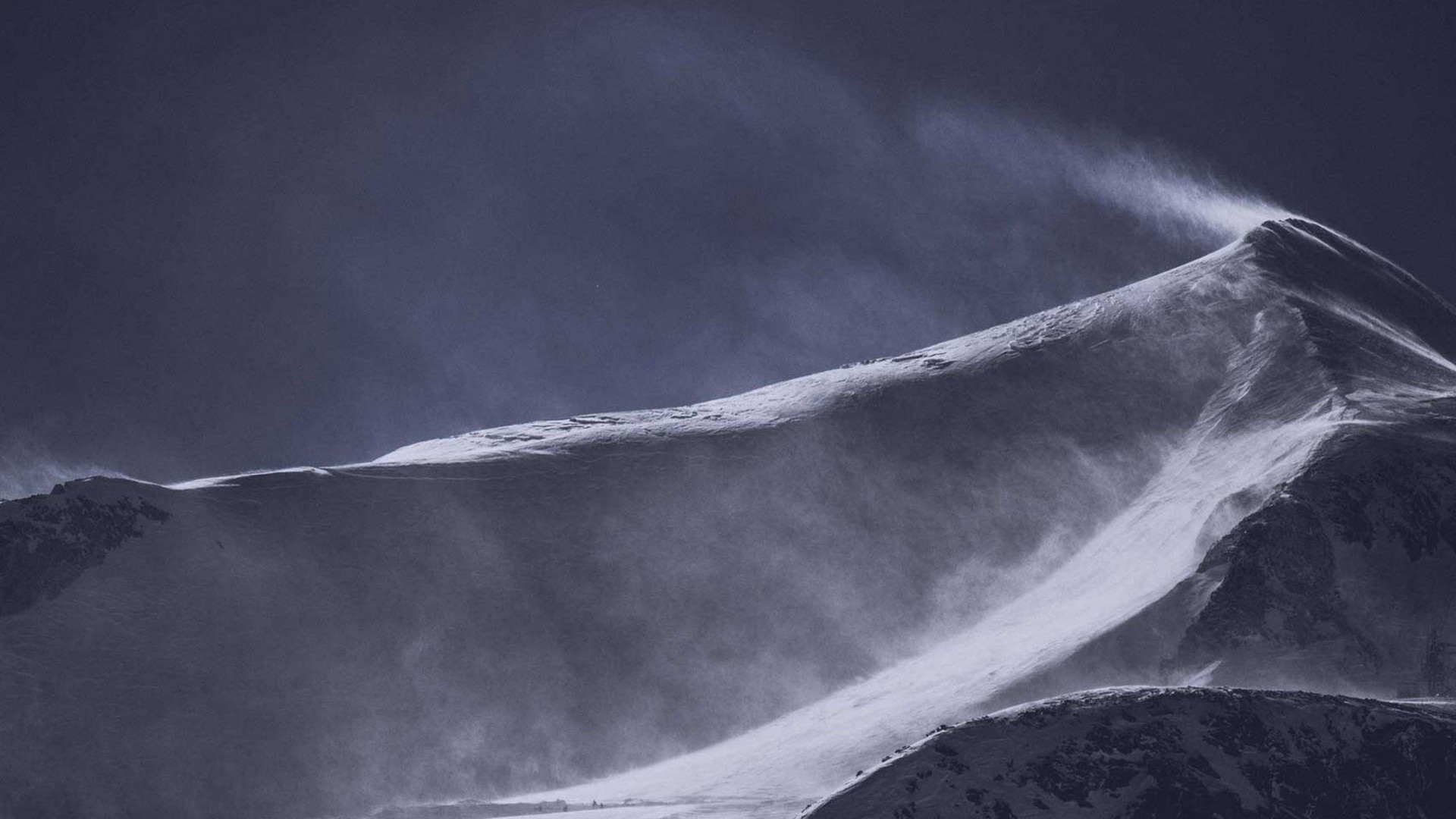
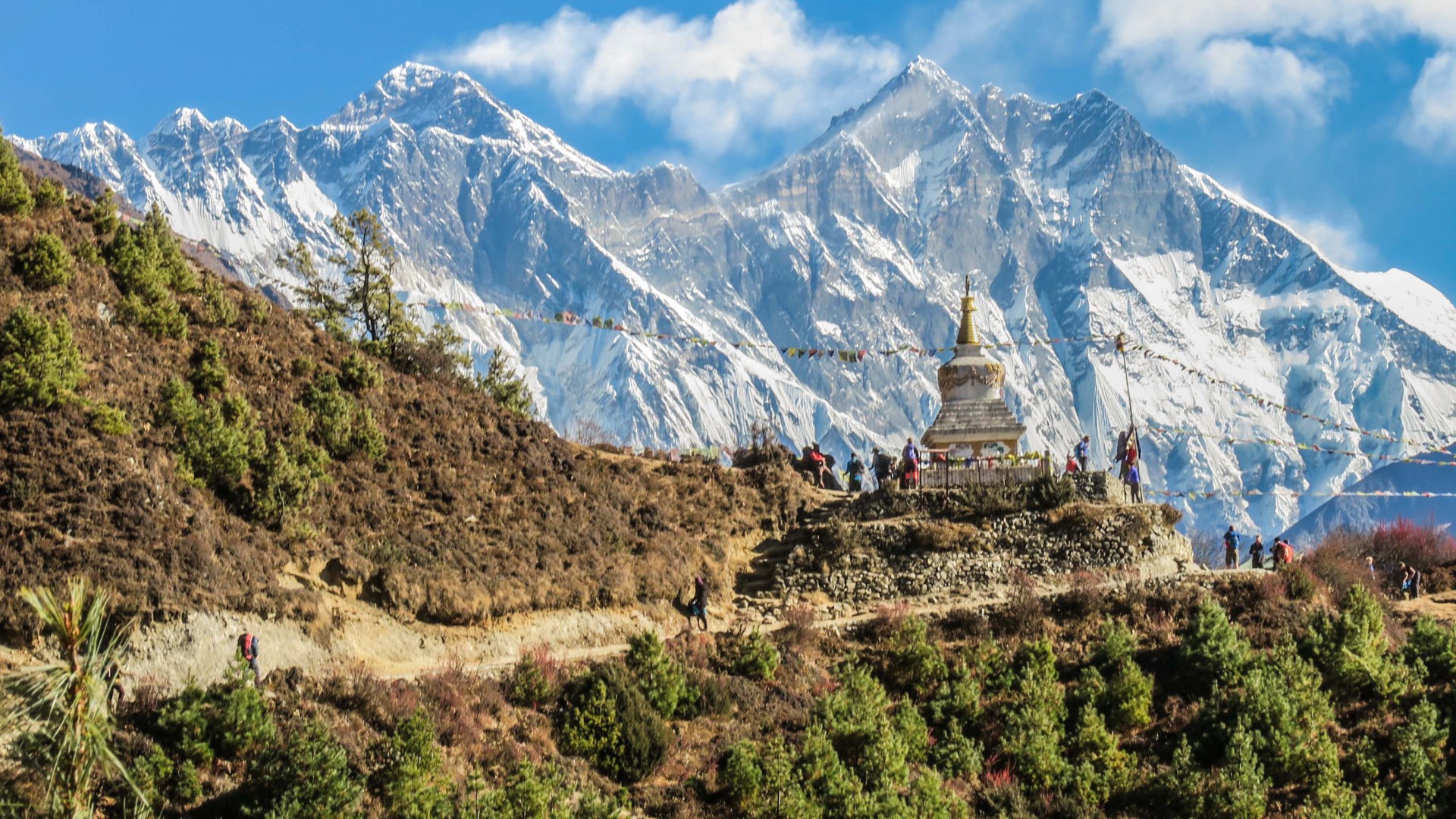
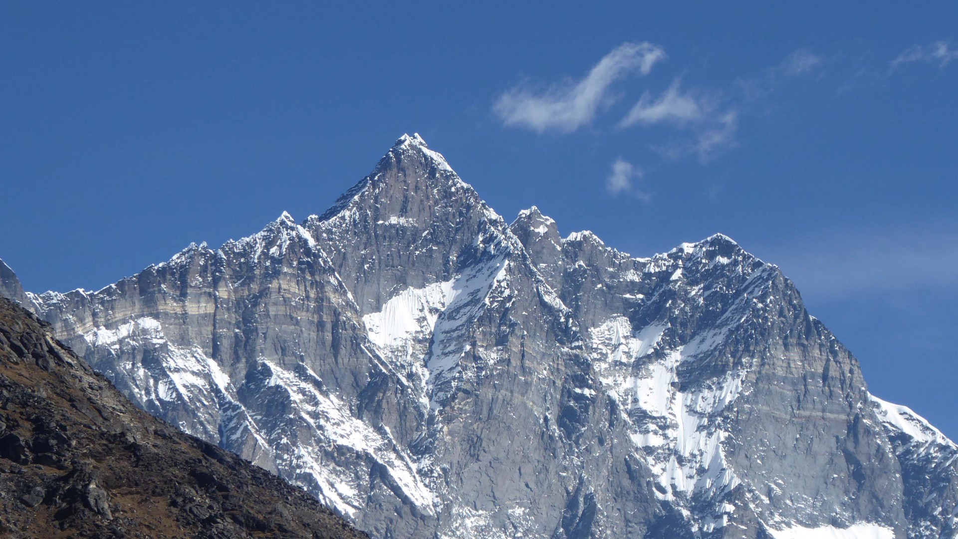
The Tilicho Lake Trek is an exhilarating journey in the Annapurna region of Nepal, leading to Tilicho Lake, one of the highest lakes in the world at an elevation of 4,919 meters (16,138 feet). This trek combines the popular Annapurna Circuit with a detour to the stunning Tilicho Lake, offering a unique blend of natural beauty, cultural richness, and adventure. Trekkers will experience diverse landscapes, from lush subtropical forests to high alpine deserts, and witness spectacular views of Annapurna, Dhaulagiri, Manaslu, and Tilicho Peak.
Overview:
- Duration: 16 days
- Max Elevation: 5,416 meters (17,769 feet) at Thorong La Pass
- Difficulty: Moderate to challenging
- Best Season: March to May, September to November
- Start/End Point: Kathmandu/Besisahar/Jomsom
Detailed Itinerary
Day 1: Drive from Kathmandu to Besisahar and Bhulbhule
- Starting Elevation: 1,400 meters (4,593 feet)
- Ending Elevation: 840 meters (2,756 feet)
- Duration: 7-8 hours drive
- Route: Scenic drive through hills and along rivers to Besisahar, then drive to Bhulbhule.
- Accommodation: Teahouse in Bhulbhule.
- Overnight: Bhulbhule.
Day 2: Bhulbhule to Jagat
- Starting Elevation: 840 meters (2,756 feet)
- Ending Elevation: 1,300 meters (4,265 feet)
- Duration: 6-7 hours
- Route: Trek through terraced fields, forests, and along the Marsyangdi River to Jagat.
- Accommodation: Teahouse in Jagat.
- Overnight: Jagat.
Day 3: Jagat to Dharapani
- Starting Elevation: 1,300 meters (4,265 feet)
- Ending Elevation: 1,960 meters (6,430 feet)
- Duration: 6-7 hours
- Route: Trek through villages like Chamje and Tal, with views of waterfalls and landscapes.
- Accommodation: Teahouse in Dharapani.
- Overnight: Dharapani.
Day 4: Dharapani to Chame
- Starting Elevation: 1,960 meters (6,430 feet)
- Ending Elevation: 2,710 meters (8,891 feet)
- Duration: 5-6 hours
- Route: Trek through forests of pine and oak, crossing bridges and passing through villages.
- Accommodation: Teahouse in Chame.
- Overnight: Chame.
Day 5: Chame to Pisang
- Starting Elevation: 2,710 meters (8,891 feet)
- Ending Elevation: 3,300 meters (10,827 feet)
- Duration: 5-6 hours
- Route: Trek along the Marsyangdi River, with views of Annapurna II and Pisang Peak.
- Accommodation: Teahouse in Pisang.
- Overnight: Pisang.
Day 6: Pisang to Manang
- Starting Elevation: 3,300 meters (10,827 feet)
- Ending Elevation: 3,540 meters (11,614 feet)
- Duration: 5-6 hours
- Route: Trek through the Upper Pisang route, passing through Ghyaru and Ngawal, with panoramic mountain views.
- Accommodation: Teahouse in Manang.
- Overnight: Manang.
Day 7: Acclimatization Day in Manang
- Elevation: 3,540 meters (11,614 feet)
- Activities: Explore Manang, hike to Gangapurna Lake or the nearby ridge for acclimatization.
- Accommodation: Teahouse in Manang.
- Overnight: Manang.
Day 8: Manang to Khangsar
- Starting Elevation: 3,540 meters (11,614 feet)
- Ending Elevation: 3,760 meters (12,336 feet)
- Duration: 4-5 hours
- Route: Trek through forests and cross suspension bridges to reach Khangsar.
- Accommodation: Teahouse in Khangsar.
- Overnight: Khangsar.
Day 9: Khangsar to Tilicho Base Camp
- Starting Elevation: 3,760 meters (12,336 feet)
- Ending Elevation: 4,150 meters (13,615 feet)
- Duration: 5-6 hours
- Route: Trek through rocky terrain and past landslides to Tilicho Base Camp.
- Accommodation: Teahouse at Tilicho Base Camp.
- Overnight: Tilicho Base Camp.
Day 10: Visit Tilicho Lake and Return to Tilicho Base Camp
- Starting Elevation: 4,150 meters (13,615 feet)
- Lake Elevation: 4,919 meters (16,138 feet)
- Ending Elevation: 4,150 meters (13,615 feet)
- Duration: 6-7 hours
- Route: Ascend to Tilicho Lake, explore the lake area, and return to Tilicho Base Camp.
- Accommodation: Teahouse at Tilicho Base Camp.
- Overnight: Tilicho Base Camp.
Day 11: Tilicho Base Camp to Yak Kharka
- Starting Elevation: 4,150 meters (13,615 feet)
- Ending Elevation: 4,050 meters (13,287 feet)
- Duration: 5-6 hours
- Route: Trek back to Khangsar, then continue to Yak Kharka.
- Accommodation: Teahouse in Yak Kharka.
- Overnight: Yak Kharka.
Day 12: Yak Kharka to Thorong Phedi
- Starting Elevation: 4,050 meters (13,287 feet)
- Ending Elevation: 4,450 meters (14,600 feet)
- Duration: 4-5 hours
- Route: Trek through alpine meadows and along the Jarsang Khola, reaching Thorong Phedi.
- Accommodation: Teahouse in Thorong Phedi.
- Overnight: Thorong Phedi.
Day 13: Thorong Phedi to Muktinath via Thorong La Pass
- Starting Elevation: 4,450 meters (14,600 feet)
- Pass Elevation: 5,416 meters (17,769 feet)
- Ending Elevation: 3,800 meters (12,467 feet)
- Duration: 7-8 hours
- Route: Early morning ascent to Thorong La Pass, then descend to Muktinath.
- Accommodation: Teahouse in Muktinath.
- Overnight: Muktinath.
Day 14: Drive from Muktinath to Jomsom
- Starting Elevation: 3,800 meters (12,467 feet)
- Ending Elevation: 2,720 meters (8,923 feet)
- Duration: 2-3 hours drive
- Route: Drive through the Kali Gandaki Valley to Jomsom.
- Accommodation: Teahouse in Jomsom.
- Overnight: Jomsom.
Day 15: Flight from Jomsom to Pokhara
- Starting Elevation: 2,720 meters (8,923 feet)
- Ending Elevation: 822 meters (2,697 feet)
- Duration: 20 minutes flight
- Route: Scenic flight from Jomsom to Pokhara.
- Activities: Explore Pokhara, rest and relax.
- Accommodation: Hotel in Pokhara.
- Overnight: Pokhara.
Day 16: Drive/Fly from Pokhara to Kathmandu
- Starting Elevation: 822 meters (2,697 feet)
- Ending Elevation: 1,400 meters (4,593 feet)
- Duration: 6-7 hours drive or 25 minutes flight
- Route: Drive or fly back to Kathmandu.
- Accommodation: Hotel in Kathmandu.
- Overnight: Kathmandu.
Additional Details:
- Permits: Annapurna Conservation Area Permit (ACAP) and TIMS (Trekkers' Information Management System) card are required.
- Accommodation: Teahouses and lodges along the trail.
- Meals: Traditional Nepali meals, with options for international cuisine available at larger teahouses.
- Guides/Porters: Hiring a guide and/or porter is recommended for support and safety.
Packing List:
- Clothing: Layers for warmth, waterproof jacket, trekking pants, gloves, hat, and sturdy trekking boots.
- Gear: Sleeping bag, trekking poles, headlamp, first aid kit

Don't miss these places!